Training at iTwin Capture Modeler
Vocational training to increase efficiency in your next projects
beCAD, official Bentley Systems partner, trains you to iTwin Capture Modeler with business-oriented sessions, concrete and immediately operational. Whether you start or want to structure your work methods, we adapt our training to your level and your actual projects.
Who is this iTwin Capture Modeler training for?
This training is designed for professionals who use or wish to use iTwin Capture Modeler in a production setting:
Geometers and topographers
Civil engineers
Professionals BIM / BIM Coordinators
GIS Technicians
UAS drone operators/pilots
No prerequisites: the content is adapted to the level of the participants.
What you can do after training
At the end of the training, you will be able to:
- Being autonomous in Environment iTwin Capture Modeler
-
- Treat and structure effective games photo data and/or LiDAR
-
- Produce of the 3D models, orthophotos and meshes exploitable for your projects
-
- Guarantee the Georeferenced accuracy and quality of deliverables
-
- Optimize your workflows of reality captured and increase efficiency on your projects
Why choose beCAD for your iTwin Capture Modeler training?
✅ Bentley Systems Official Partner
✅ Formateurs experts iTwin Capture Modeler, issus du terrain
✅ Formations basées sur your concrete cases and data
✅ Approche orientée production, pas théorique
✅ Possibilité d’accompagnement post-formation
iTwin Capture Modeler Training Programme
We always adapt the training program to the needs of the client, even though we obviously explain certain essential points during the session.
- General principles of captured reality and cases of use
- Discovery of the application and understanding of the various editions
- Hardware Requirements and Specifications
- Good photographic acquisition practices (focal, opening, speed, sensitivity)
- Organization and structuring of a modelling project
- Complete production workflow: aerotriangulation
- 3D reconstruction: grids, textured models and scaling
- Production of orthophotos and georeferenced deliverables
- Management of coordinates, geotags and ground control points (GCP)
- Progressive practical exercises: simple building, heritage site, career
👉 Un programme détaillé sera fourni après avoir eu un entretien permettant de définir vos besoins.
Frequently Asked Questions
Is the training adapted to our level?
Yes. We adjust the content according to the level and objectives of the participants. Of course, we study the essential points during the sessions, but our trainers adapt the training to the questions asked.
Is this an official Bentley training?
beCAD, official Bentley Systems partner, trains exclusively on Bentley solutions. As Bentley Training Partners, we guarantee a high level of competence and quality in our training. We also use only official licenses during sessions.
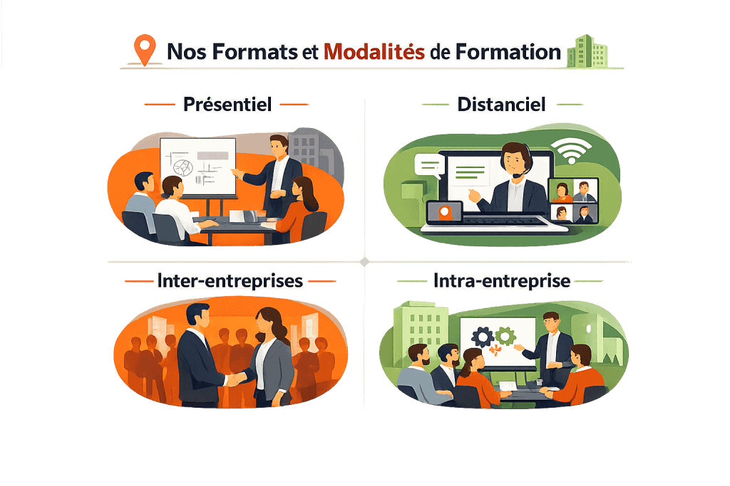
Is it possible to form an entire team?
Yes, intra-company training allows for harmonization of practices. We recommend groups of up to 4 people in distanciel and 6 in face-to-face, as beyond that, the trainer can no longer devote enough time to each, which inevitably impacts the quality of the training.