OpenCities Map PowerView

Provides 2D design features for the creation and management of technical quality spatial data.

OpenCities Map Advanced

Expands the functionality of the CAD environment through entity-based modelling and connection to spatial databases.

OpenCities Map Ultimate

The most complete version of OpenCities Map, it offers efficient 2D and 3D modeling features for asset documentation in a geospatial environment.

OpenCities Map PowerView

What is OpenCities Map PowerView?

OpenCities Map PowerView allows you to view your maps and make small 2D acquisitions and changes. Ideal for field operations, it combines GPS and geospatial data editing. MicroStation users can create maps without changing their workflow, with the possibility of adding custom placement methods.

OpenCities Map Advances

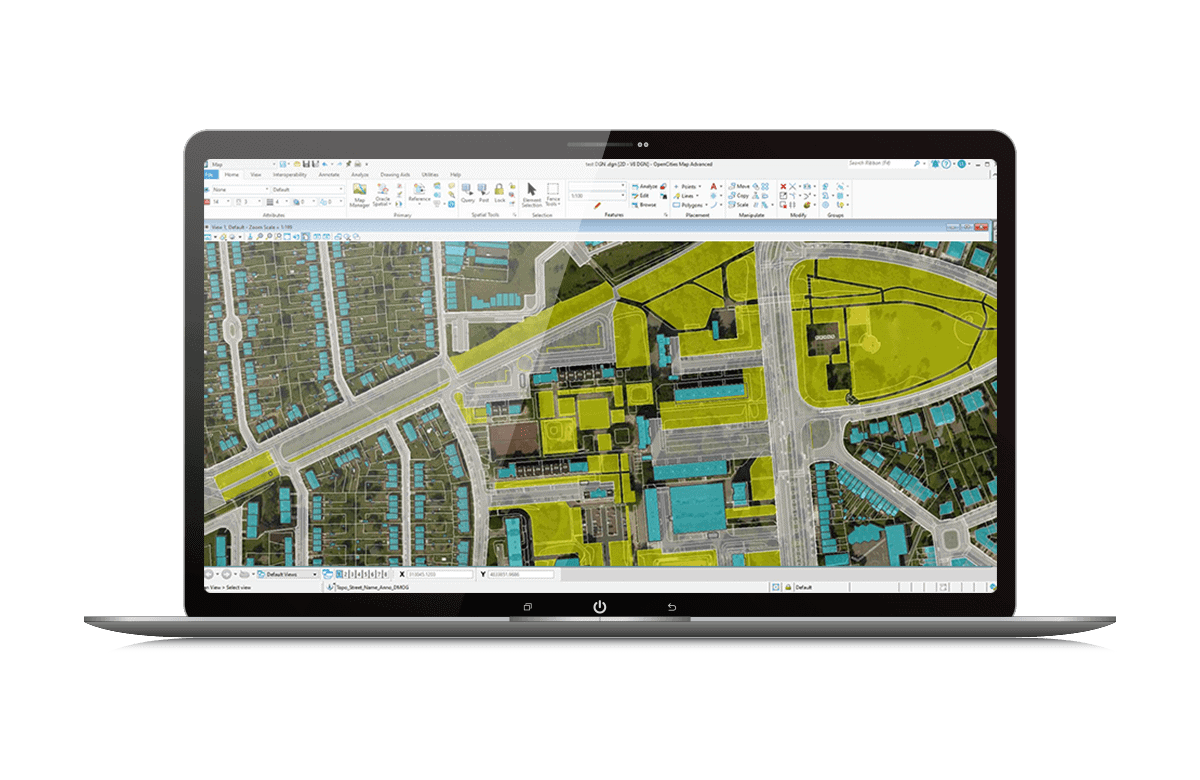
What OpenCities Map Advanced

OpenCities Map Advanced offers a complete set of features to model your map data by elements. Thanks to its functionality-based workflow and the XFM extension of the DGN format, it guarantees geometric accuracy and reliable business properties. MicroStation users can create advanced mapping elements while maintaining their familiar tools, with customizable placement methods.

OpenCities Map Ultimate

What is OpenCities Map Ultimate?

OpenCities Map Ultimate combines the power of MicroStation with advanced 2D/3D GIS tools. Create thematic maps, detect collisions, perform solar analyses and work directly with real data such as point clouds or 3D grids. Easily add semantic information for smarter and better coordinated projects.

OpenCities Map CONNECTED Icon

Key Features

Define your data model by elements

Benefit from a complete set of features that increase your productivity, allowing you to model your data by characteristics via a schema file. Define the elements to be captured with their associated properties, symbols, annotations and behaviours.

Edit, manage and maintain your 3D urban model data, whether structured or not, including geospatial information, architectural and engineering designs, point clouds or 3D grids. Integration with the most widely used spatial databases is fluid and intuitive.

Transform CAD element creation tools into feature-based tools. MicroStation users can continue to use their familiar features to create advanced mapping elements, with the ability to define placement methods specific to your needs.

Ensure the integrity of your data, apply your business rules and integrate all your geospatial information into a coherent environment.

Generate accurate and reliable spatial data, perfectly adapted to your infrastructure workflows.

OpenCities Map easily integrates into the most widely used spatial databases and data formats, facilitating exchange and collaboration.

Smartly convert your CAD plans into geospatial elements and import them directly into a spatial database for time-saving and more reliable projects.

Ability to manage large CAD files

OpenCities Map has transformed our way of working on urban projects. Thanks to its 2D and 3D data management, we can easily visualize, analyze and share our geospatial information. Compatibility with MicroStation and spatial databases saves us considerable time and reduces errors. It's an indispensable tool for our teams.

Claire Dubois, Urbanist


Licensing Options

Annual rental

Perpetual licence