Traditional reality data and GIS

Independent of hardware and any post-processing software, scalable and flexible, iTwin Capture Manage & Extract makes it possible to exploit large volumes of reality data: spherical, planar and oblique images, cloud of points and textured meshes.

This data can be combined with traditional GIS resources such as vector data, orthophotos and raster images. Import surveys from land, mobile or aerial mapping systems captured on the road, rail, waterway or air — indoors and outdoors, surface and underground.

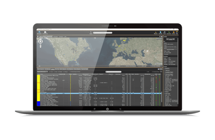
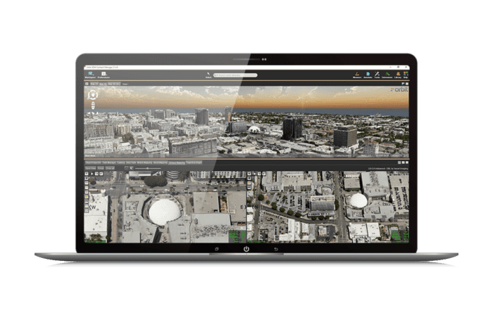
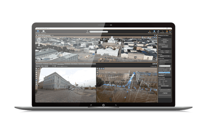
Visualisation and navigation

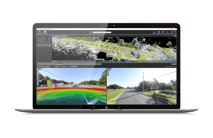
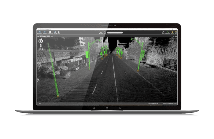
View and explore your cartographic data in 2D or 3D, automatically browse all associated images and overlay your 2D and 3D vector data. iTwin Capture Manage & Extract offers advanced options for point clouds, such as transparency and depth of view.

With different display modes, you can explore your points clouds in stereo, perspective or 3D isometry. Coloured fly-over tools allow you to detect the underlying surfaces, tie to the nearest point and interpolate between points to precisely track surfaces, edges and angles.

Manage, catalogue and adjust reality data

iTwin Capture Manage & Extract allows you to manage, catalogue, access, adjust and verify your reality data. Smart models simplify and automate the import of data from any capture system or post-processing software.

Check and correct the accuracy of the measurements using ground control points, path adjustment and calibration tools after collection. Catalog and organize your data, complete metadata and tags to keep a clear overview of your projects and easily access any data at any time.

Extraction and Advanced Analysis

iTwin Capture Manage & Extract allows simple or complex measurements, extracting elements and conducting advanced analyses. All measurements made on your reality data can be converted into GIS elements.

Create and check your asset inventory. Perform manual, semi-automated or fully automated measurements from the point clouds, combining object-oriented workflows and specialized analyses according to the domains: bridge template, conflict detection, cross-sectional profiles and cross-sections, or road orientation analysis.

Collaborative work with a centralized database

Operators can work independently or as a team to optimize the production of extracted elements.

Managers can configure the production unit, import reality data, prepare extraction workflows and manage workspaces for multiple operators.

Extracted items are stored in a centralized database, providing real-time updates for all users. Additional metadata, attributes, documents and captures may be added or associated.

Simple procedures maximize operator productivity, while team and user activity is recorded to generate reports and refine production processes.

Logo-Orbit-3DM

User Word

iTwin Capture Manage & Extract has facilitated integration into our custom MasterMind mobile mapping system. The application offers many asset inventory management features.

— Nicholas Hickman, President and Co-founder of MasterMind LLC