Reduce flood risk
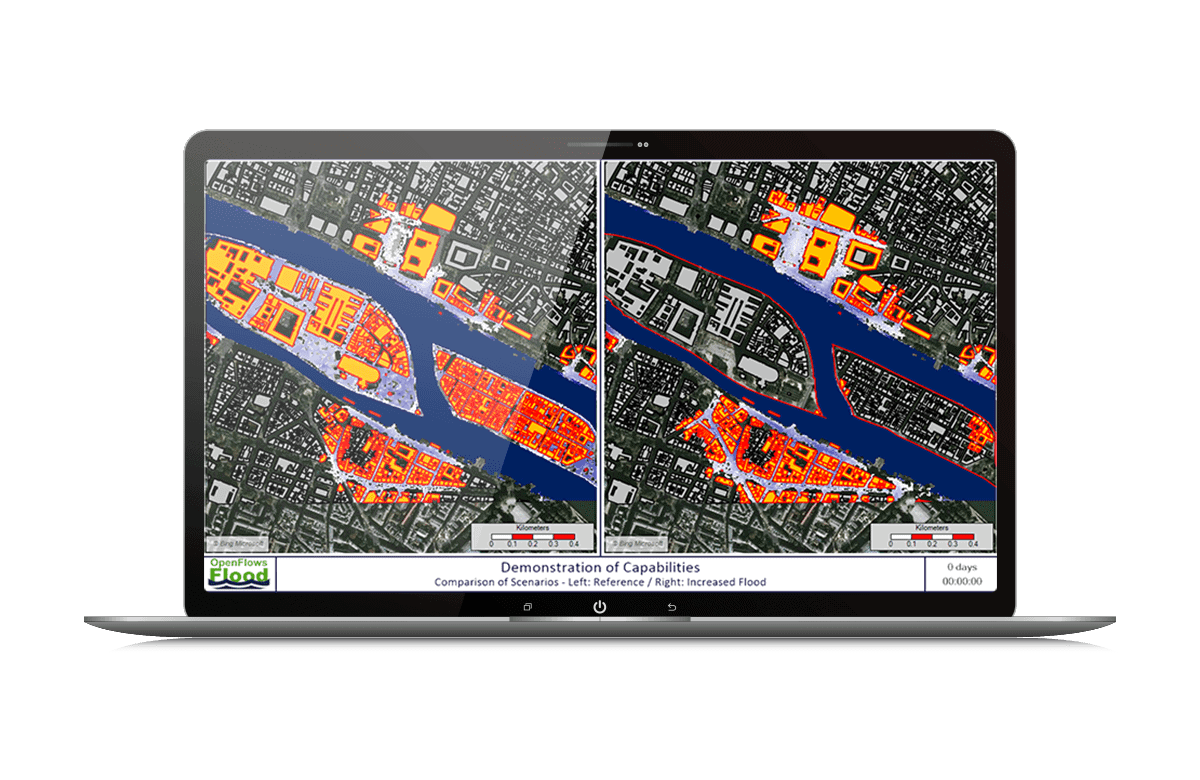 | Reduce the risk of flooding in urban, river and coastal areas Digital models distributed in space Simulate all hydraulic and hydrological processes that occur in river basins, including precipitation, infiltration, surface flow, channel and groundwater flow. Exploit the digital context and real world visualization With a 3D mesh of ContextCapture reality, bring simulations to life by creating realistic flood visualizations. Quickly find the best solution to mitigate flood risks Use scenario management to easily compare different alternatives. |
Build and manage models
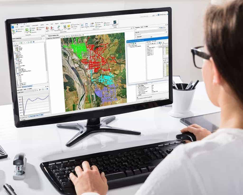
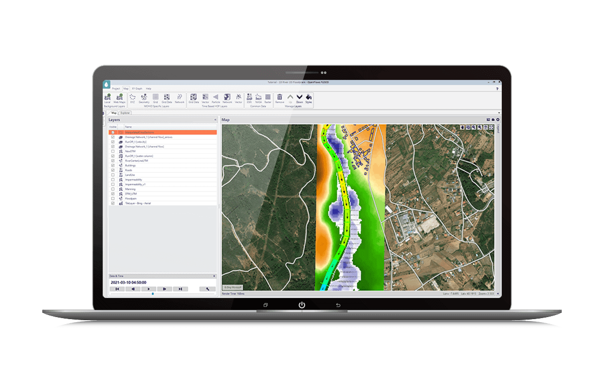 | Linitiate the model development process Import many well-known external data formats Automate the creation of input data and maximize the return on investment of existing geospatial and engineering data. Calculate river flow and surface flow Prepare spatial data and use different modelling approaches to simulate surface runoff, water exchange between the river, flood zone and surface or subsurface flow, with a fully integrated 1D-2D network. Simulate flooding in urban areas Evaluate water flows in the underground pipeline system, river and coastal systems, and runoff and water exchange between systems. |