
Choosing a road design software involves a study office for several years: file formats, working methods, team training, interoperability with other trades... In the French-speaking market, three solutions are consistently found in calls for tender and internal comparisons: OpenRoads Designer from Bentley Systems, Civil 3D from Autodesk, and Covadis, the AutoCAD extension developed by Geomedia (Sogelink Group). Each responds to a different design philosophy. This comparison details their respective strengths on 10 concrete criteria, to help you choose the tool best suited to the size, complexity and BIM ambitions of your linear infrastructure projects.
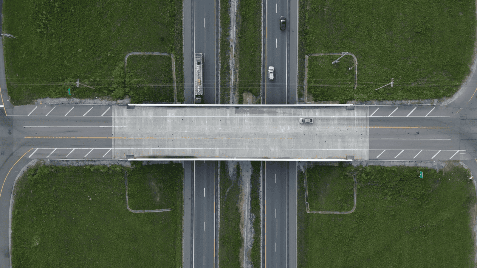
Three design philosophies for the same objective
On paper, OpenRoads Designer, Civil 3D and Covadis all aim to design roads, junctions and sewerage networks. In practice, their software architecture differs greatly. Civil 3D and Covadis are both built on or around AutoCAD: the first adds intelligent civilian objects to the Autodesk environment, the second is a set of VRD business modules that installs over AutoCAD. OpenRoads Designer, on the other hand, is based on a native, independent BIM modeling engine originally designed for linear infrastructure and large multidisciplinary programmes.OpenRoads Designer, native BIM modeling designed for large corridors
OpenRoads Designer Natively manages corridor modelling, surveys, drainage and underground networks in a single parametric 3D environment. Relationships between civil engineering elements are maintained throughout the project: modifying a long profile automatically updates cuts, cubatures and associated documents. This approach « model-first » reduces the risk of a gap between 2D plans and the real model, a critical point on major infrastructure projects.Civil 3D, the AutoCAD power extended to civil engineering
Civil 3D remains a reference for study offices already equipped in AutoCAD and working on small to medium-sized projects. Its grip is fast for an experienced AutoCAD user and its ecosystem (assembly, subassembly, styles) is mature. On the other hand, users see more slowdowns and instability when models extend over long linear lines or integrate many disciplines simultaneously.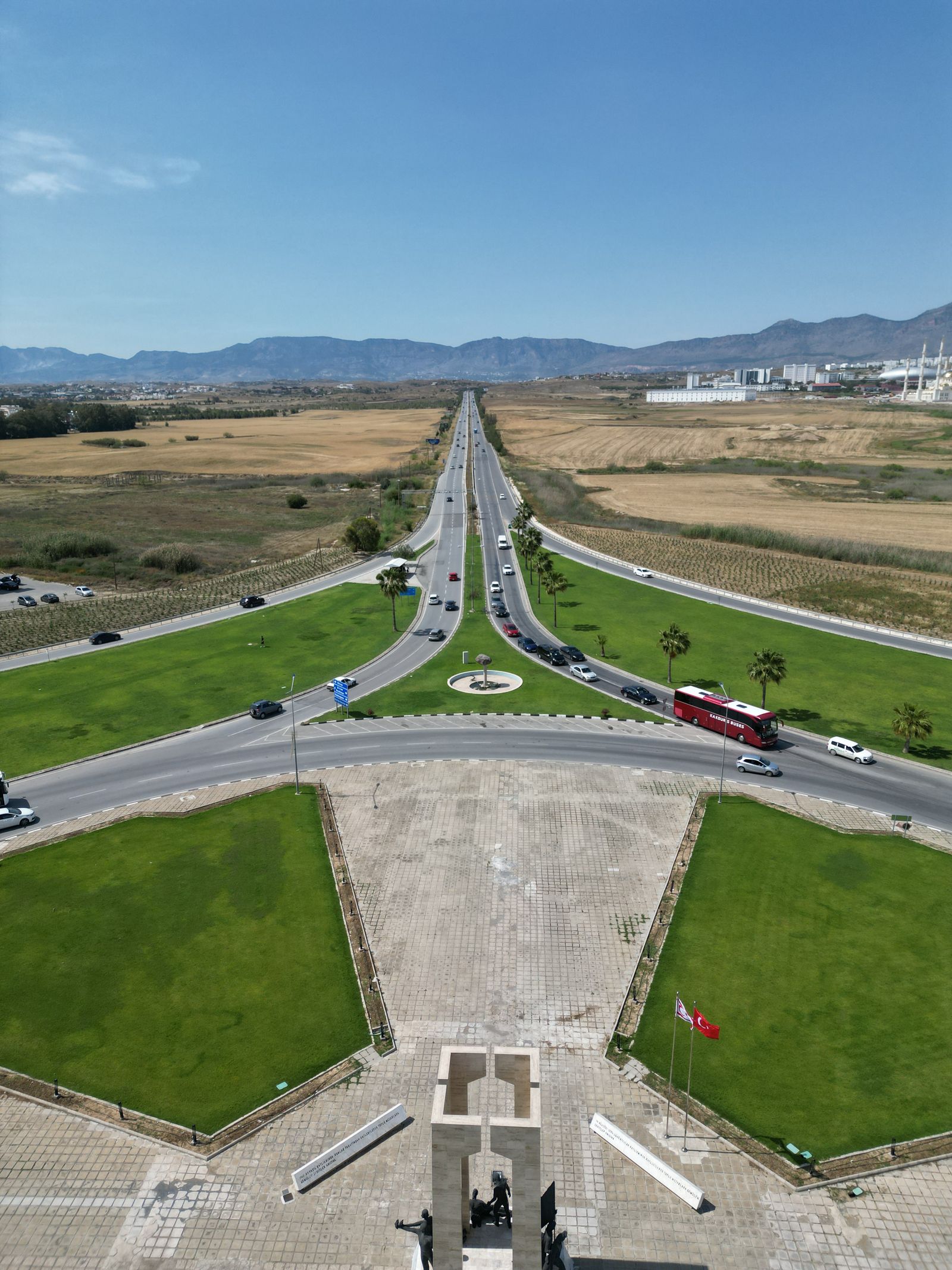
Covadis, VRD expertise and topography based on AutoCAD
Developed by Geomedia (now part of the Sogelink Group), Covadis is particularly appreciated by surveyor-experts and small French-language VRD study offices for its topography, cubaturistic calculation and sanitation network design modules. Operating as an extension of AutoCAD, it inherits both its qualities (a familiar interface, native DWG) and its limitations on very large multidisciplinary projects.
Comparison table: the 10 criteria that make the difference
To go beyond commercial discourse, here is a summary of ten really structuring criteria for choosing road design software.| Criteria | OpenRoads Designer | 3D civilian | Covadis |
|---|---|---|---|
| Modeling Architecture | Native BIM engine, independent 3D parametric modelling of AutoCAD, based on design intent | Intelligent civilian objects integrated with AutoCAD | Business extension VRD/topography on AutoCAD |
| Large linear corridors | Optimized for long and complex corridors, stable on very large models | Performing on short to medium projects, possible slowdowns beyond | Adapted to VRD projects of local to medium size |
| Multi-format interoperability | i-models, IFC, DGN, DWG, dot clouds, native open formats | DWG native, IFC/LandXML exports via add-on modules | Native DWG, IFC and LandXML exports |
| Photorealistic mesh & dot clouds | Native integration with iTwinCapture Modeler and Bentley Descartes | Integration via ReCap and third party modules | Importing point clouds, more limited processing |
| Multidisciplinary collaboration | Shared environment iTwin/ProjectWise, a unique model for all disciplines | Collaboration via Autodesk Construction Cloud | Collaboration mainly based on DWG file exchange |
| Generative Design & Automation | Catalog Services, reusable parametric corridor rules | 3D Civil Assembly and Subassemblies | Calculation strings and libraries of predefined VRD objects |
| Stability on complex projects | Designed for major national infrastructure programmes | Good stability on medium-sized projects | Good stability on local projects |
| Additional software ecosystem | PLAXIS, OpenFlows, Synchro 4D, MicroStation, OpenBuildings | Ecosystem Autodesk (Revit, InfraWorks, Navisworks) | Mainly limited to AutoCAD and its extensions |
| Licence model | Annual rental or perpetual license, SELECT contract | Monthly or annual subscription Autodesk | Annual subscription, usually linked to an AutoCAD license |
| French-language support and support | Network of Certified Partners of which beCAD, training and dedicated support | Autodesk support and general retailers | Publisher and reseller support |
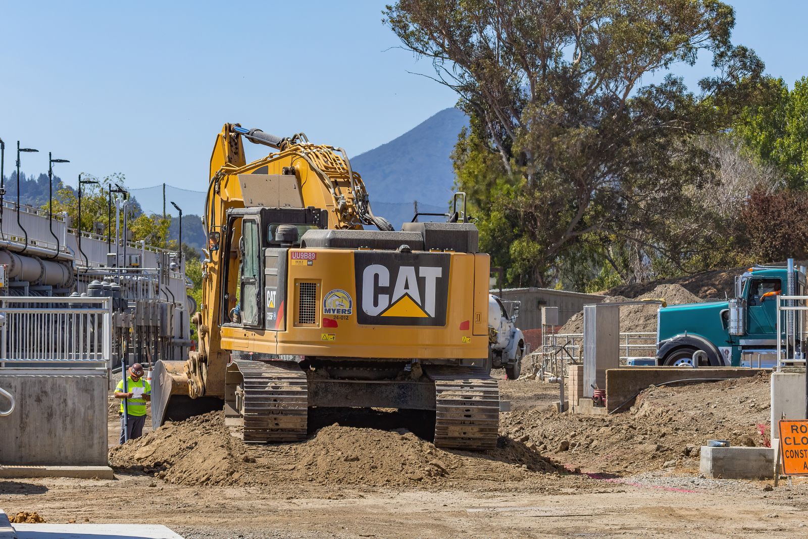
Why more and more large infrastructure projects switch to OpenRoads Designer
The above table highlights a fundamental trend: as soon as a project exceeds a certain size, involves several disciplines (roads, networks, structures, geotechnical) or has to deliver a BIM model that can be used over time, OpenRoads Designer take advantage. Its modeling engine shared with MicroStation and OpenBuildings Designer (same file format on all Bentley Systems business applications: DGN format), its native compatibility with i-models, and its direct integration into solutions like PLAXIS 3D (geotechnical), OpenFlows (hydraulic) or Synchro 4D (project planning) make it a platform rather than a simple drawing software. For a contractor who requires a unique digital model, continuously updated from studies to operation, this continuity changes the situation.Use case: which software for what context?
For a geometer or a small VRD study office working on local projects (lotting, communal roads), Covadis remains a relevant and economical choice in an already controlled AutoCAD environment. For a medium-sized study office, already equipped with Autodesk and working on one-off road projects, Civil 3D retains advantages in terms of ownership. As soon as the project grows — motorway corridor, bypass, railway line, multi-lot programme with BIM obligations — OpenRoads Designer becomes the most robust option, thanks to its stability on large models and its integrated infrastructure ecosystem.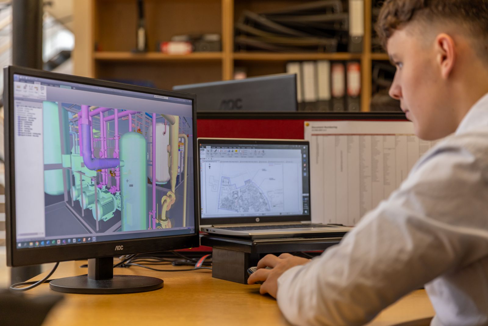
Frequently asked questions
Are Civil 3D and OpenRoads Designer compatible with each other?
Yes, to some extent. Both softwares exchange data via DWG, IFC and LandXML formats. On the other hand, intelligent objects specific to each platform (civil civil 3D objects, OpenRoads parametric elements) do not transfer with all their professional intelligence: an imported model retains its geometry but loses part of its original design rules.Can Covadis manage a large-scale BIM project?
Covadis can produce IFC deliverables and register in a BIM approach, but it remains architectured as an AutoCAD extension rather than as a native BIM platform. On large-scale multidisciplinary programmes, this architecture reaches its limits faster than that ofOpenRoads Designer. It should be noted that OpenRoads Designer supports "active objects" without difficulty (Objectives) necessary to view 3D Civil objects outside this application.Why choose OpenRoads Designer instead of Civil 3D for a large infrastructure project?
Mainly for three reasons: software stability on very large linear models, native interoperability with the BIM Bentley ecosystem (MicroStation, OpenBuildings, i-models), and the ability to maintain a single, coherent model from concept to construction. These assets weigh all the more heavily as the project is long, complex and multidisciplinary.